Vigne CG to Joseph Canyon 24.14 miles, 2,126’ of Elevation Gain, 3,825’ of Elevation loss
Authors Note- I generally try to tell it like it is on the trail without too much hyperbole or drama, because at the end of the day I have always viewed long-distance hiking a as series of day hikes strung together over a series of weeks or months. With that said days 11 & 12 of the Blue Mountain Trail were some of the hardest hiking and route finding I have ever experienced. The following blog post is long, but if you want to know what it’s like to ground-truth a new route and have everything go to hell in a matter of 100 yards then you’ll enjoy this passage.
We awoke before dawn and enjoyed a nice big breakfast and coffee before loading up for the next leg of our journey. The anticipation to get to Joseph Canyon was palpable, this canyon is not only the birthplace of Chief Joseph of the Nez Perce but also one of the most historic precious lands of the tribe. The canyon was the home to the Nez Perce for millennium, and it also played a significant role in the Nez Perce War. After reading so much about this canyon prior to the hike I couldn’t wait to make our miles and get into this remote canyon to see it for myself.
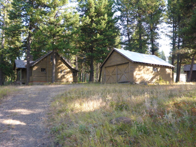
We said goodbye to Ron and headed out to the road to continue on our way, the route took us up a gentle dirt road, and then we had a little cross country to an open meadow among the trees. I got a cell signal, so I called home to get the latest update on the fires in the Portland area, from what Suzy relayed to me it was apocalyptic and getting worse by the day. We discussed how bad the air quality was and she warned me it was heading our way. We worked out some details on meeting up with us in La Grande in about a week and then we said goodbye and carried on.
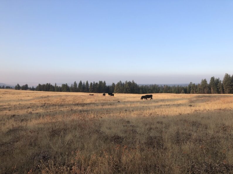
The miles came easy and the 3 of us were making great time laughing and hiking along without a care in the world. At about 11 am we came over a small rise in the road and saw Ron parked on the side of the road, so we pulled up for a quick lunch and to top off our drinks and water. As we sat there along the road munching away, a giant wall of smoke started working its way towards us, in a matter of minutes our sky turned from a light haze to a dark gray and we could feel the smoke in the back of our throats. Well, I guess it was inevitable when the entire region is on fire there is no escaping the smoke, luckily, we were in the only part of the PNW without any fires so we counted our blessings and figured we would just have to make do.
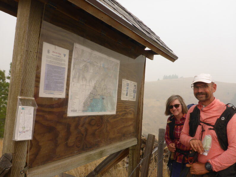
After our leisurely break we loaded up and carried on towards the infamous Joseph Canyon, Ron again said he wasn’t leaving the area tomorrow until he knew we were out of the canyon, we told him it was necessary, but he insisted. We continued winding along some USFS roads climbing up towards the canyon rim, however with the smoke, we could have been anywhere since the views were nonexistent. We finally came upon the entrance to Joseph Canyon. There was a barb wire fence and gate going over the road that would drop us down along Tamarack Creek, by Tamarack Cow Camp, and into Joseph Canyon. There was an information board and some paper maps showing the road down to the trail along the canyon, and the trail back up to Indian Viewpoint at the end of the canyon where we would exit.
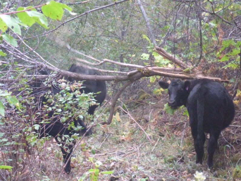
The road walk down along Tamarack Creek was lovely, it was a well-maintained road and graded nicely, with each step we lost more elevation as we walked back in time. About a ½ mile before Tamarack Cow Camp we ran into a small group of cows made up of mostly heifers and yearling calves. Like all cows instead of running off to the side, they insisted on running in front of us pooping all over and mooing. A little way down the road they would pause and calm down, then see us again and trot further down the road, no matter what we did couldn’t get these cows to leave us be and get out of our way.
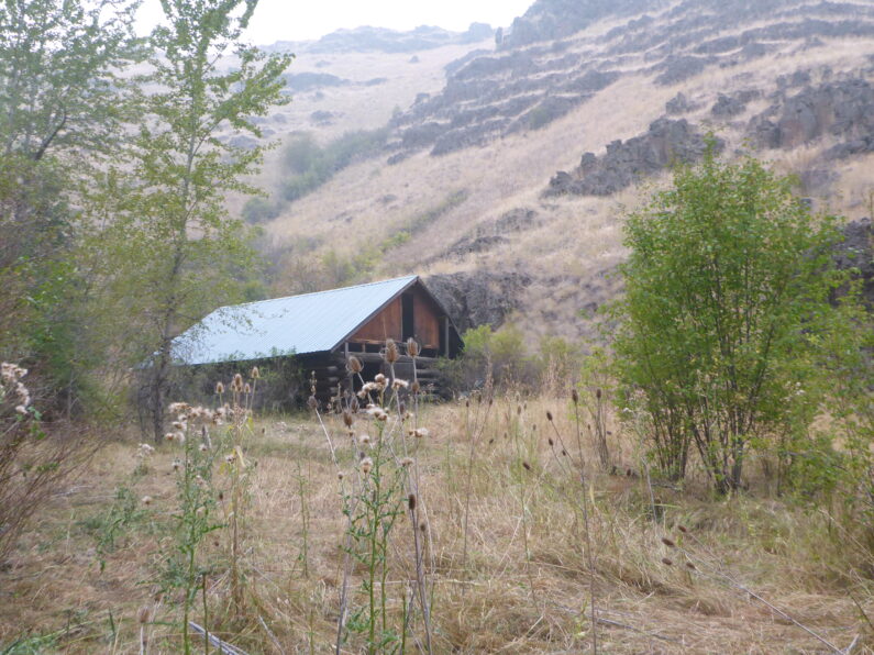
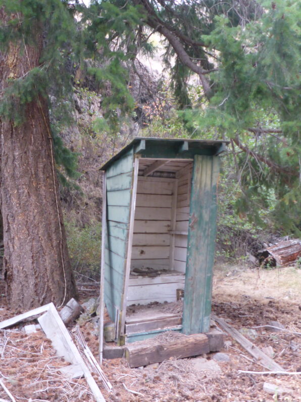
As the road finally flattened out, we came to a series of old cabins and an old barn comprising of the camp, the privy was a little bit rough for use, luckily none of us needed it. The day was getting long now but we figured we should try to get in as many miles as we could because canyons generally tend to be slow miles especially if the trails aren’t in good shape. Right at the end of the camp, the road ended, and the trail disappeared. We saw a faint trail down below the cabins that hugged the small Tamarack Creek, we dropped down to hike it and right on cue, the cows dropped down in front of us. I hate pushing someone’s cows it stresses them out, makes them lose weight and it’s just as unpleasant walking in their piles of cow pies as it is for us to feel bad about pushing them.
The trail at this point went all to hell and pretty much disappeared, one benefit was the cows were doing a good job of pushing the endless blackberries and other thorny plants out of our way somewhat. We scrambled along climbing under sharp bushes and trying to figure out the path of least resistance to travel forward. All of sudden as we were pushing through some bushes, we heard the cows going crazy. They were balking and making a racket, we stepped off into the bushes and into the creek just in time to see the cows turn 180 and go rushing by us in a fright…” What the actual hell was that about?”
I stepped back onto the “trail” and walked a few feet forward and was greeted to the equivalent of being cliffed out, in front of us was a 12’ + tall wall of the thickest most solid blackberries you have ever seen. Apparently, they were so thick even the cows couldn’t get through. We looked at each other said a few curse words and knew that our pleasant walk was over. We also took stock that we were losing daylight and were in no position to camp where we were.
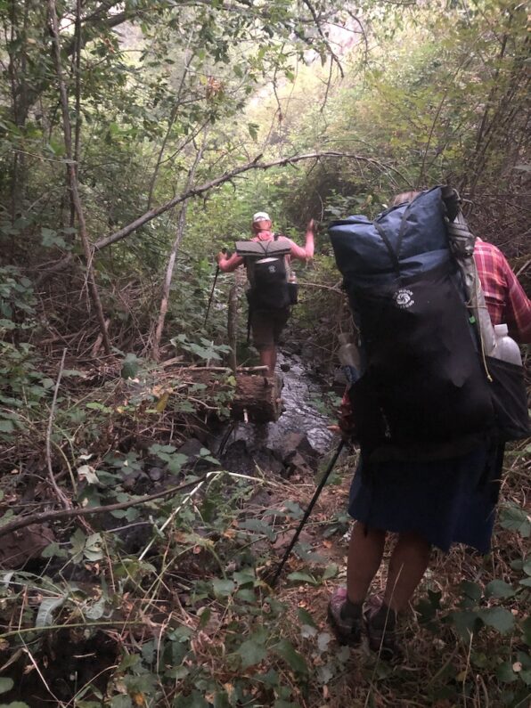
We dropped down to the creek and tried to walk up the other side, but the terrain was slick with moss and lose rocks and more blackberries. After trying that we gave up and dropped back into the stream. We tried pushing our way through the thick brush, but each step got us tangled in blackberries that cut us open and slowed us to a crawl. At one point I pulled out the 3” blade of my Gerber knife and tried to use it as a machete to cut away some of the blackberries to move forward. Finally, we made it through and came up against a rock wall with water trickling down in a small waterfall. We gathered together and asked ourselves, “what the hell are we going to do?”
The sun was long gone, and darkness was taking over. I looked at the rock wall and saw a way I could pick my way up. Being igneous rocks, it tends to be crumbly and hard to climb, but we really had no other choice. So, with that, I channeled my inner Stallone from Cliff Hanger and slowly picked my way up to see if I could get a good vantage point or somewhere to call camp. I pulled myself up over the last little lip of the wall and came upon a sloped small outcropping just big enough for the 3 of us to sleep on. I called back down to FeMike and The Punisher who were filling our water bags for the night that we could camp up top.
I dropped back down leaving my pack up top so I could help each of them up top. I knew this was little beyond everyone’s comfort zone of safety, but we had no choice. I helped The Punisher up first and got her set up top before dropping back down to help up FeMike. After a few minutes of pulling and struggling the two of us joined The Punisher. I turned to her and asked, “Will this work for camp tonight?” the ground was pretty sloped and close to the edge.
The Punisher turned to me and said, “Sure just let me get all the bear scat out of the way first”.
The ground was covered in piles of bear scat. Literally, every place you looked and shown a headlamp on was a pile of scat, oh well a bear has never attacked a group of 3, right? Well, that’s at least the theory most hikers use to keep themselves calm.
We did our best to find flattish places to sleep, the 3 of us decided the only choice was to cowboy camp as there was no way to set up a camp, I guess we were really embracing the definition of a bivouac. We sent out our location to Ron and Suzy letting them know that things had gone to hell in a handbasket in the last few miles and we weren’t sure until daylight if we could go forward or have to backtrack all the way to the rim where we first came down Tamarack Road.
The moon rose in the sky with a blood orange color from the smoke and we looked down into the dark canyon below as we cooked our dinner and discussed our plan for the next day. In all of our years and combined miles of long-distance hiking, none of us had ever seen anything like the bushwhack we were no in. We decided the best plan of attack was to sleep until it was light enough to see then at first light FeMike and I would go scout ahead without our packs to see if we could make it the last 2/3 of a mile to Joseph Canyon where our maps showed a pack trail, and we were told the going would be easier.
As I tried to fall asleep, I kept feeling like I could roll off the edge at any minute and the pit in my stomach gnawed at me with endless dreed of what the next day might have in store for us. Luckily, I was so worn out that no matter how much my mind raced I quickly fell asleep.
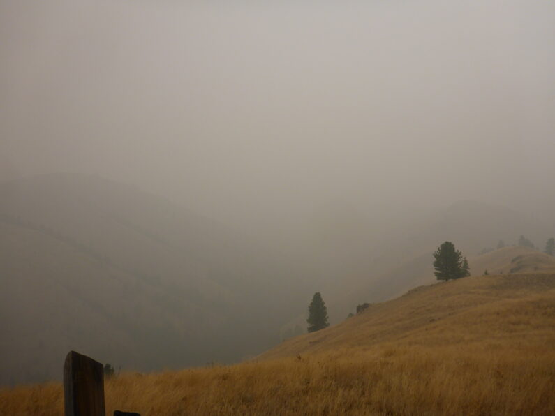


When we hit that wall of blackberries, it took a while for me to fully comprehend that the cows were right. There was no way to go forward.
The cows while horrible for the environment in many ways make the perfect trail companion, they can always locate water, they can blaze a trail, and then can tell you when to tuck tail and head back home.
OMG, what a dreadful bushwhack! Naomi, you were up early this morning :).
Wow, I am sure words cannot do justice to your adventure, and to do it in the smoke filled skies to boot. You’re all beasts!