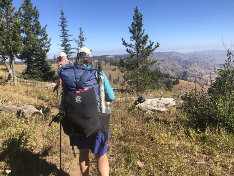
Memaloose to Square Mt Saddle 25.43 miles, Elevation gain 2,395′, Elevation Loss 4,058′
We awoke to strong winds, I guess I never really slept to much as most of the night I laid in my tent dealing with the headwall hitting me every time a big gust came up. As I was stirring in my bag the first thing, I noticed was how cold it was, besides a steady 25mph wind the temperature was just 24 degrees, a major change for the past week on the trail. I called over to FeMike and The Punisher they were up too, so we all decided to pack up as fast as we could and get in the van parked on the other side of the flat area where we were camped. I threw everything I could into in my pack, put on all my clothes and then jumped out of my tent and collapsed it to the ground and just shoved it into my pack. The three of us ran to Ron’s van where we jumped in and were instantly blasted in a blanket of warm hot air form the heater. We sat in there warming up, enjoying coffee and breakfast in comfort, we begged Ron to take us over to the privy by the fire tower, between the cold wind outside and the copious amounts of coffee we had some business to deal with and no one was up for hanging their ass in the wind.
We headed to the privy bouncing along the road and over the ruts and rocks, we all took a turn and then after a lot of pfaffing around we finally had Ron drive us back to where he got us the evening before, there was icy on all the puddles and it was all we could do to leave the comfort and security of the van. At the crack of 8am, we loaded up our packs with extra water as we didn’t know where our next source would be exactly, food and all of our gear as we wouldn’t see Ron for a couple of days.
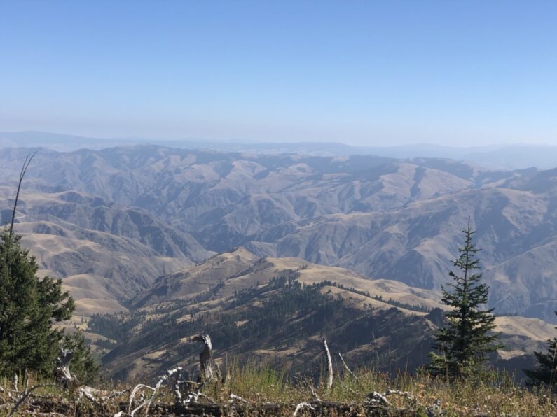
It was a cold morning, the air had that first cold crisp feel of fall and we happily walked along a gravel road, along the way we found a few running springs a good sign that future hikers will have a good reliable water source. We slowly climbed until we finally hit the Rim wall and the actual trail, we easily walked along a well-maintained trail, we gleefully walked through the well-spaced trees and enjoyed the views of Hells Canyon, yet we still could not see the Snake River somewhere down there.
The wind finally died down and then the clouds parted, and the sun came out. We stopped on some logs for a snack, we had a cell signal so we each check in with home. It was on that call that my wife informed me that the previous night’s wind had set off a series of wildfires as close as Estacada (a small town just outside the metro area). She said multiple areas were being evacuated and the sky in Portland was a hellish seen of smoke and fire tainted sky. We told her to keep us posted and to stay as safe as she could.
The next few hours were some of the most pleasant miles one could ask for, we walked in and out of groves of ponderosa pine on the rim of Hells Canyon, each time getting a new view of this massive and impressive landscape. We ran into a few bow hunters who were camped out towards Lord Flat, the first one we met was on a bike and he told us about seeing some wolves the previous day, damn I really want to see a wolf on this trip. A few miles later we were accosted by an aggressive dog who was guarding their large camp. After a few shouts the owner was finally able to wrangle the dog away from us. Man what a camp multiple wall tents, ebikes for getting around, and a corral full of mules. These guys were dug in for a while on this hunt. The one guy we chatted with told us he came in by plane and landed at lord Flat where we were headed. After a little chatting and a water fill up at the spring we carried on our way.
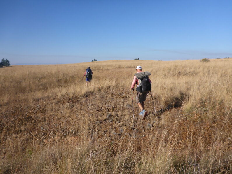
We arrived at Lord Flat, I wasn’t really expecting what it would look like but before us was a massive flat on the rim, with a grass landing strip running off towards the Snake River. We looked across at the Imnaha Canyon and then tried to figure out where to go. As we navigated through the chest-high grass, we felt a bit put out that it wasn’t easier to find our trail. We headed toward the only clump of trees we could see and when we arrived, we hit our trailhead to Dug Bar down on the Snake River.
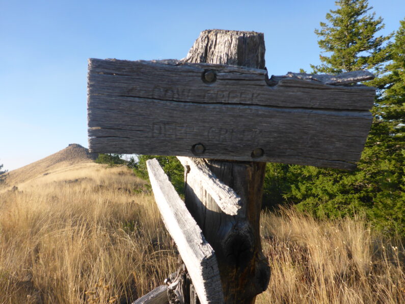
We snacked on some food and had a short break, then after wishing we could stay, we threw on our packs and started the descent, we only dropped a little elevation and then before us saw a magnificent long ridge walk. The trail could be seen skating just below the rim, undulating up and down depending on the topography. We each set out, for some reason I was out front, and like a little mt goat I picked my way along the trail. We came to Fingerboard Saddle and to our surprise there was an ancient trail sign stating Cow Creek Trail, we knew we would cross Cow Creek sometime tomorrow, what to do. We consulted our maps trying to decide which way was better the planned route or this new alternate. We did notice the trail passed right thru a ranch, the ranch was along rectangle of private land in the middle of this public area, and decided we should stick with our original plan.
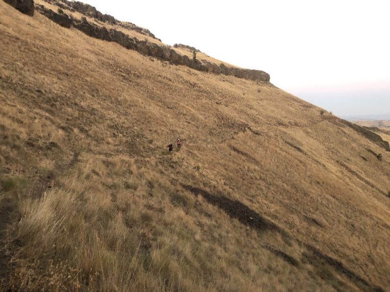
We walked along the rim trail slowly climbing and descending with each mile. The sun was starting to drop and as dusk fell upon the mountains, we walked along the narrow path thousands of feet above the canyon floor. The hiking was a bit slow going as the crumbling tread made us stay hyper vigilante of where to place our feet. As the sun finally set and darkness fell, we crossed a small saddle and came into a sloping meadow with some trees on the edge. We scouted around for about 15 minutes and finally decided we weren’t going to find a flat area so sleeping on a slight slope would have to do. FeMike and The Punisher tucked up by the trees and I set up a little bit away in the high grass. We made camp, chowed down some dinner, and sacked out for the night.


Always happy to get another edition of your trip Allgood
Thanks Jean Ella, glad you are enjoying it. It’s been hard to get caught up on this since getting back, but I am getting back in the swing and hope to keep getting new days posted as much as I can.
You are amazing!
Aww thanks, IPJ! Hope you are all doing well, we still need to get planning that 25th-anniversary hike for this year