Cow Creek Bridge to Buckhorn Overlook 6.85 miles, Elevation Gain 4,154’, Elevation Loss 184’
We awoke early once again drinking coffee and packing up well before sunrise. I felt great though the early stop and taking time to rehydrate really made a huge difference last night. The three of us were ready to hit the trail, and we talked about the dread of how hard it may be to climb back up the canyon, expecting another day of nothing but thick thorny bushwhacking and lost or non-existing trail. The Road walk along the Imnaha River was a pleasant start to the day, it gave our bodies time to warm up and the tight muscles to relax and get into the daily rhythm of walking. Being a little more than a week on the trail I finally felt like I was back in my thru-hiking rhythm and my body was feeling good and strong as my trail legs were back.
The road walk came to an abrupt end when we hit the turnoff, right there at the road junction was another Nez Perce Trail marker, the constant reminder of the sad trail we were retracing. When I read about the Nez Perce War, I always thought to myself, “why did they only cover 6 or 8 miles a day?” after a few days in Hells Canyon, I am now amazed that a large group made up mostly of woman, children, and elders could have actually covered such a distance in this rough territory. We consulted our maps and GPS, while there was a trail marker here and a faint trail going up the drainage. Our maps showed that we should head straight up and bear right up the very steep grassy knoll inf front of us for about 1,000’ of elevation. So, with that knowledge, we picked out a point on the horizon and started up the drainage and straight uphill.
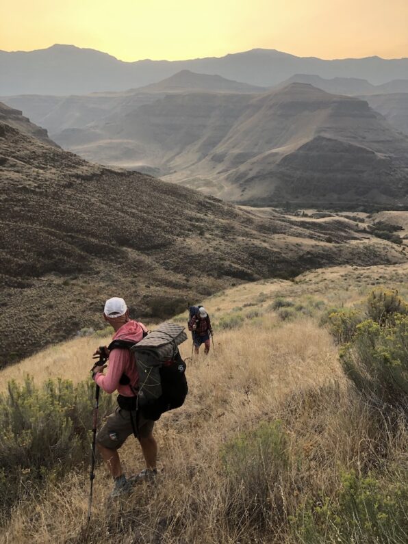
I was out front and scrambling at times using my hands on the steep terrain, it was steep so much in fact that when I looked down at FeMike and The Punisher they looked like they were climbing a ladder more than a knoll. I stopped for a drink and looked back across the Imnaha, to my surprise smoke from the fires in Portland had settled in and we couldn’t even see the other side of the Hells Canyon as it was lost in a haze. FeMike caught up to me and we climbed the last part side by side, when I crested a small rock face to my surprise there was a series of metal pickets with Nez Perce Trail markers on them, and an actual trail…I looked down the other side of the knoll we had climbed and saw a trail that came up all the way from below, well that would have been easier was all we could think to ourselves. The Punisher Joined us and the three of us now followed the trail higher and higher until it dropped us into a large expanse of grasslands in rolling terrain. As we walked along the well-marked trail we marveled at the steep canyon walls in front of us wondering how which way our path to the top would be.
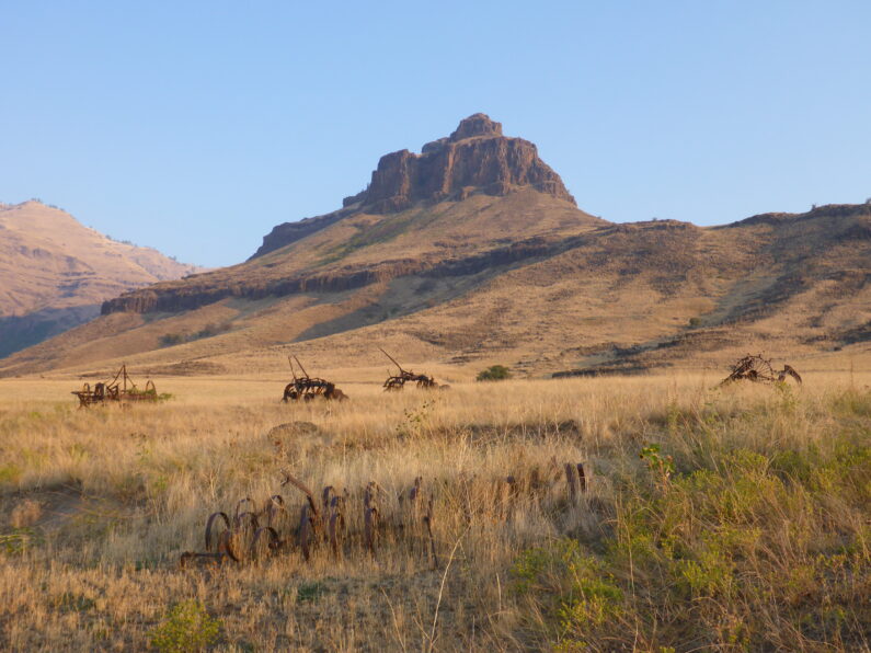
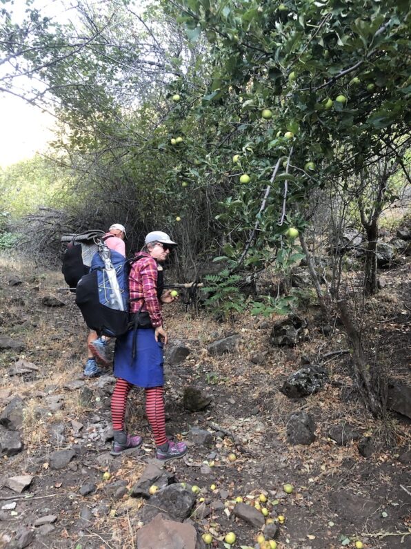
We walked along the top towards an old ranch, along the way we saw rusted old farming equipment once used to cultivate this barren landscape. The trail led us around the old ranch house and up a trail along a small stream. This was a well-maintained trail and we continued to see trail markers as we climbed higher and higher through the shade of trees. The trail was littered with bear scat, everywhere you looked there would be a pile. All of a sudden, we saw an apple tree loaded down with fresh ripe apples, well I guess we know what the bears have been eating. We stopped at the tree and ate a few apples and threw a few in our packs for the climb.
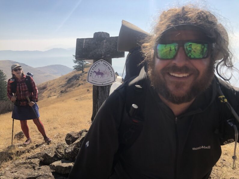
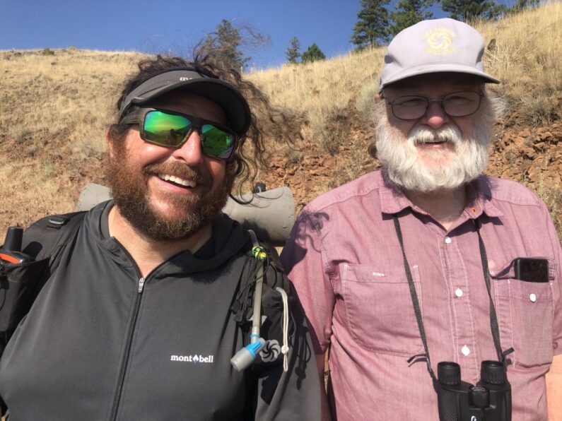
As we climbed higher, we eventually left the forest and bushwhacked straight uphill to an old roadbed that was hugging terrain just below the rim. As we walked along the road towards Buckhorn Overlook, I spotted our trusty van supporter Ron walking down towards us. He greeted us all with a big grin and some ribbing about what took us so long to get here. We told him of our adventures the day before as we walked the last mile or so up Buckhorn Overlook where he had spent the night. Our plan originally was to grab a resupply for the next leg and make some miles, however, ThePunisher’s toe was getting worse and we all figured before pushing on into unknown terrain we should get it looked at by a medical professional. The nearest urgent care was in Enterprise about an hour away and back where we had started over a week ago.
We loaded up in the van and swung by the Buckhorn Campground to locate the spring there, we met a group of Native Americans there who sowed us where the spring was and asked what we were up to. When we told them about the hike, they smiled and said it was really cool we were out here doing that. After some pleasantries, we loaded up and hit the road. The next hour took us along gravel roads, we bounced along admiring the views of Zumwalt Prairie Reserve, a 330,00-acre high prairie reserve owned by the Nature Conservancy.
We finally arrived in Enterprise, got a few hotel rooms, and headed over to the Mexican restaurant next door for some lunch. As we sat outside enjoying a margarita and chips, I laughed it was the first time I had been to a restaurant since March, luckily it was a lovely day, and we could sit outside away from anyone. My friends Phantom and Kirstin swung by to say hello, they had been in the Wallowa Wilderness for a backpacking trip, but because of the smoke, they had decided to call it early and headed home. We shared what we each knew about the wildfires in the Portland area and around the state and asked them to check on Suzy for me (they live down the road from us).
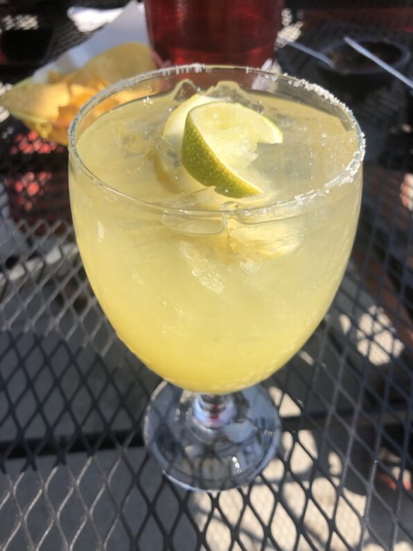
After lunch, The Punisher got to see a doctor who said it was most likely just swollen from the pressure of tight-fitting shoes, but just in case she got some anti-biotics to take if the toe got worse. FeMike and I went and did the laundry and enjoyed a few beers next door at the saloon while we waited. The day wrapped up with some quick last-minute shopping at Safeway and a hearty dinner of burgers and fries before we called it a night.


I have put together plans and had thoughts of circumnavigating the entire county starting by rafting the from the headwaters of the grand ronde down to the washington border then hiking up to buckhornand essentially doing your trail in reverse but hiking all the way through the wallowas and back out through minam river past reds horse ranch back to the headwaters of the grande ronde river. Ive already hiked or am familiar with much of hells canyon and the wallowas. I know locals that have thru hiked sections of it but never the whole thing in one trip. I grew up in joseph and have returned my whole life to continue adventures.
Wow that sounds like an awesome trip for sure! I would love to learn more about what you have planned. I moved to OR in 2000 and have spent the past 20 years exploring this awesome state on foot, but besides some hunting trips in the tollgate area, this was my first time really getting to explore Hells canyon and the Blues. After this trip though I think I may have a life long obsession with exploring this part of the state in deep depth, it is wild, rugged, and the lack of people in the backcountry was a real treat.